San Francisco and the Bay Area
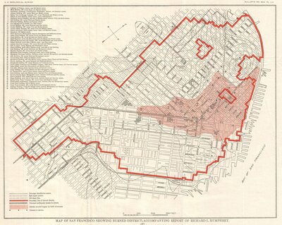
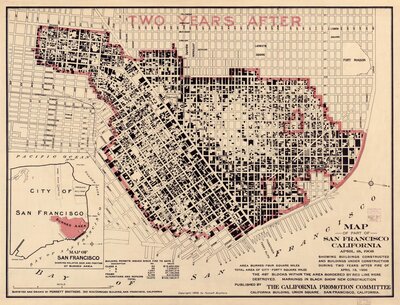
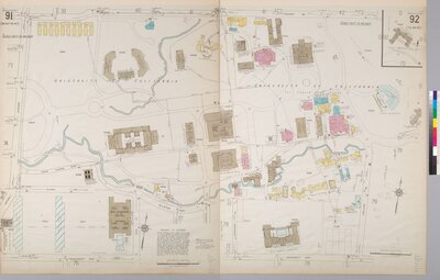
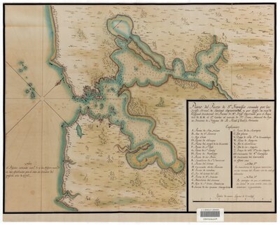
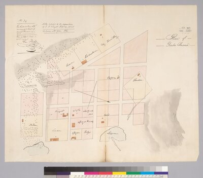
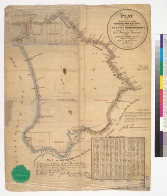
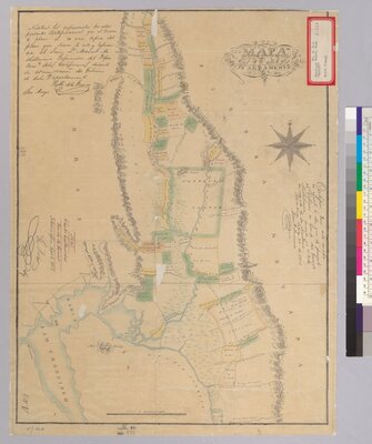
Maps reveal different types of information. These maps of the San Francisco Bay Area are illustrative of the various approaches to seeing the geography of a place. They tell us about exploration; about important events, including cataclysmic ones; about the value of land as landscape and property, and its use, preservation, and exploitation; about the surveillance or monitoring of a population; and about the inhabitants, their demographics, their neighborhoods and how these change through time. Perhaps no place has more of those resonances than the Bay Area.
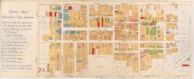
Official map of Chinatown in San Francisco
Produced for the Board of Supervisors by a specially appointed committee and used by the San Francisco Police Department, this “official map” of Chinatown marks the illegal gambling resorts, houses of Chinese and white prostitution, and opium dens. These features illustrate the close scrutiny and surveillance visited upon the Chinese community in the late-nineteenth and early-twentieth centuries.