San Francisco
The city of San Francisco is 46 square miles and is located on a peninsula between the Pacific Ocean and the San Francisco Bay. View these maps to travel through time in San Francisco starting with a Native land case map hand drawn by a Native land owner and ending with maps describing the destruction of the 1906 fire.
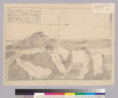
Land Cases
The U.S. Congress passed an act in 1851 that required holders of Spanish and Mexican land grants to present their title for confirmation from the Board of California Land Commissioners.
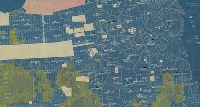
Education
The below map displays the public schools in San Francisco during 1913.
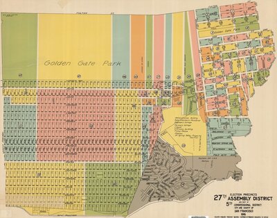
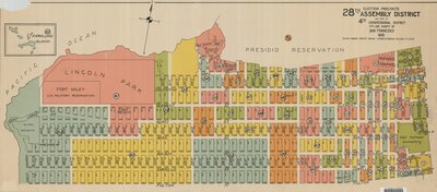
Election Precincts
The below maps show election precincts for different districts in San Francisco. What precinct was the Farallon Islands?
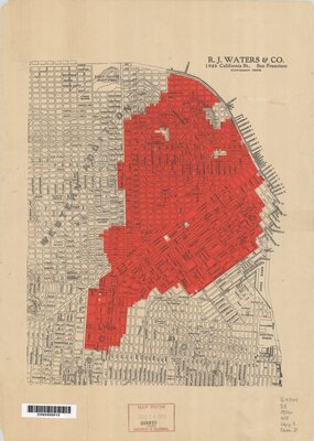
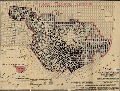
1906 Fire
The below maps show the aftermath of the 1906 fires which occurred after the 1906 earthquake.
Sources