SF Bay Area
What is the Bay Area?
"no other U.S. city-region is as definitionally challenged [as the Bay Area]"– Richard Walker, professor emeritus of geography at University of California, Berkeley
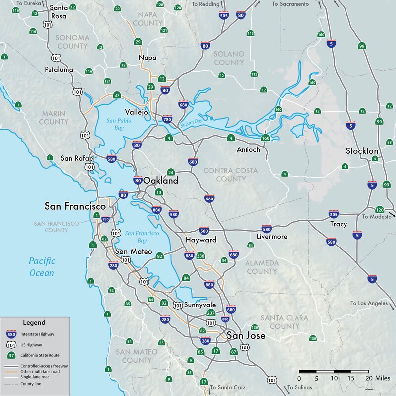
The geographic definition of the San Francisco Bay Area can vary widely depending on the person you ask. The region's topography and unusual commute patterns caused by the presence of three central cities and employment centers located in various suburban locales have generated unique development patterns. This unusual landscape of development has contributed to considerable disagreement between local and federal definitions of the area.Since World War II, a nine-county definition for the Bay Area has taken hold, including the counties that directly border the San Francisco, San Pablo, and Suisun estuaries: Alameda, Contra Costa, Marin, Napa, San Francisco, San Mateo, Santa Clara, Solano, and Sonoma counties.
Credit: https://www.kqed.org/news/11689315/how-do-you-define-the-bay-area-2
This map shows the five subregions of the Bay Area which are generally divided along county lines.
Land Acknowledgement
Every member of the Berkeley community has, and continues to benefit from, the use and occupation of this land, since the institution’s founding in 1868. Consistent with our values of community, inclusion, and diversity, we have a responsibility to acknowledge and make visible the university’s relationship to Native peoples. As members of the Berkeley community, it is vitally important that we not only recognize the history of the land on which we stand but also, we recognize that the Muwekma Ohlone people are alive and flourishing members of the Berkeley and broader Bay Area communities today (Adapted from the Division of Equity & Inclusion, UC Berkeley).
For more than 13,000 years prior to European settlement the Bay Area was home to many indigenous groups, including the Ohlone, Bay Miwok, and Northern Valley Yokuts. Native peoples found plentiful wildlife and plant resources for hunting and gathering along the East Bay's extensive shoreline marshes and creeks, and in the oak savannas and grasslands of the East Bay Hills.
(Blank Image? If the image below is blank, right click on the blank space and choose Reload/Refresh Frame.)
Spanish exploration and colonization
Beginning in the 1770s the Bay Area was the remote northernmost outpost of the vast Spanish empire in the Americas. With the establishment of the Spanish missions the traditional indigenous way of life disappeared rapidly.
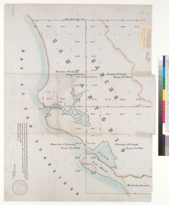
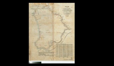
Ranchos
The Spanish and Mexican governments made about 300 land grants in California between 1784 and 1846, so called Rancho grants. The ranchos established permanent land-use patterns. The rancho boundaries became the basis for California's land survey system, and are found on modern maps and land titles. The "rancheros" (rancho owners) patterned themselves after the landed gentry of New Spain and chiefly raised cattle and sheep.
Rancho San Antonio, also known as the Peralta Grant, was a 44,800-acre land grant by the last Spanish governor of California to Don Luis María Peralta, a sergeant in the Spanish Army and later commissioner of the Pueblo de San José de Guadalupe. It recognized Peralta’s more than forty years of public service.
The Rancho grant, issued on August 3, 1820, was one of the largest Spanish land grants made in northern California. It encompassed most of the East Bay region and included the lands where the University of California campus and the city of Berkeley are situated today.
Luis Maria Peralta never lived on the rancho lands himself, but his four sons did. With their families and landless workers, the Peralta family established the first Spanish-speaking communities in the East Bay, surrounded by native peoples.
These rancho lands became U.S. territory after the end of the war with Mexico in 1846. Gradually, in the second half of the 19th century, American ranches and settlements appeared in the East Bay region.
Transportation
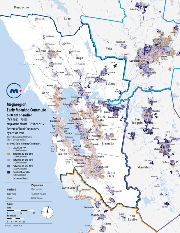
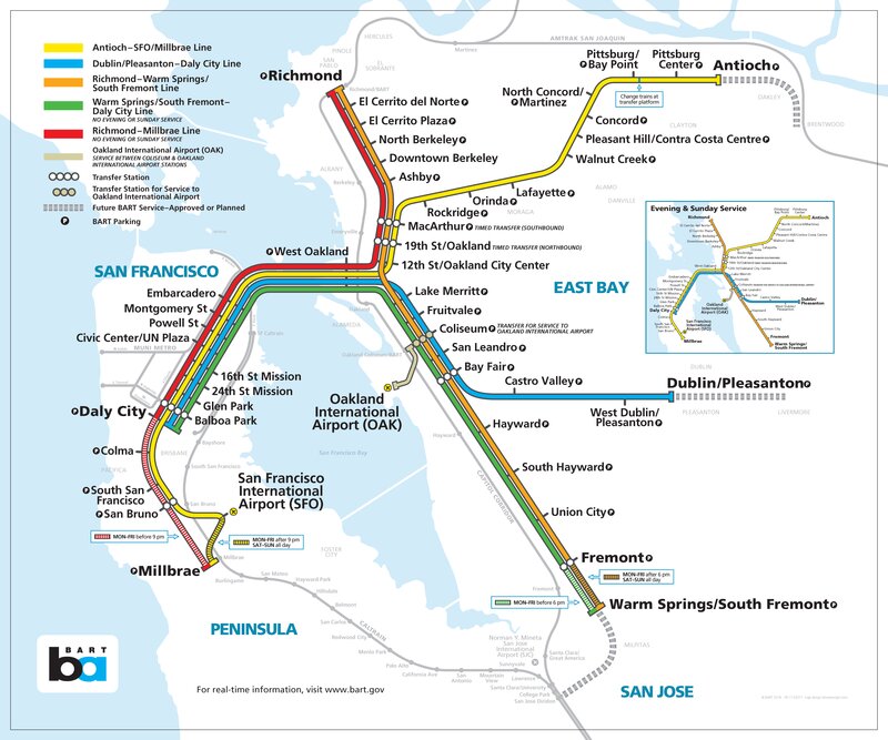
Bay area highways and public transit systems are more crowded than ever, Will we solve the area’s transportation challenges in the future — or will things only get worse?
Ecology
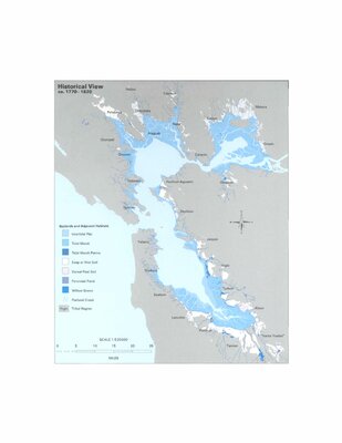
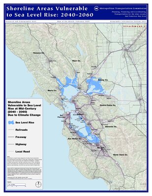
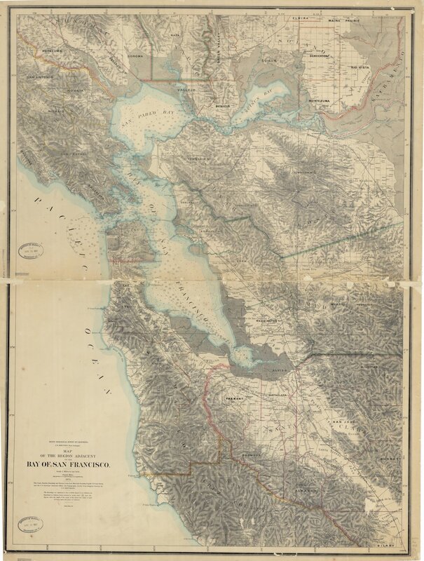
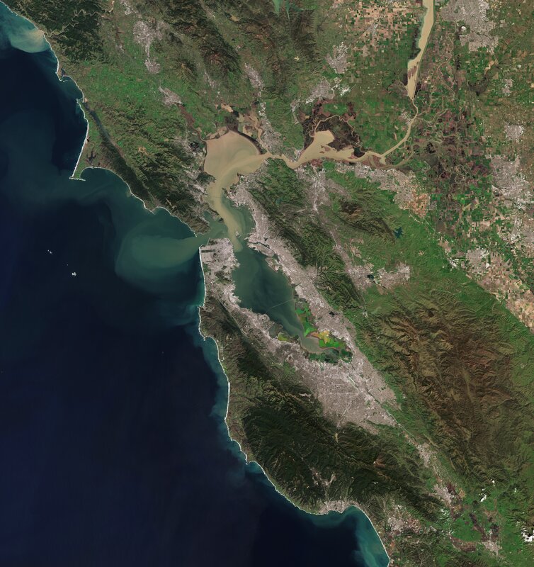
Until the 1850s San Francisco Bay was navigable as far south as San Jose. Then hydraulic fracturing released massive amounts of sediment from the rivers. The sediment settled in parts of San Francisco Bay which had little or no current. Later, wetlands and inlets were deliberately filled in and often built on, reducing the Bay's original size by as much as one third.
Geology
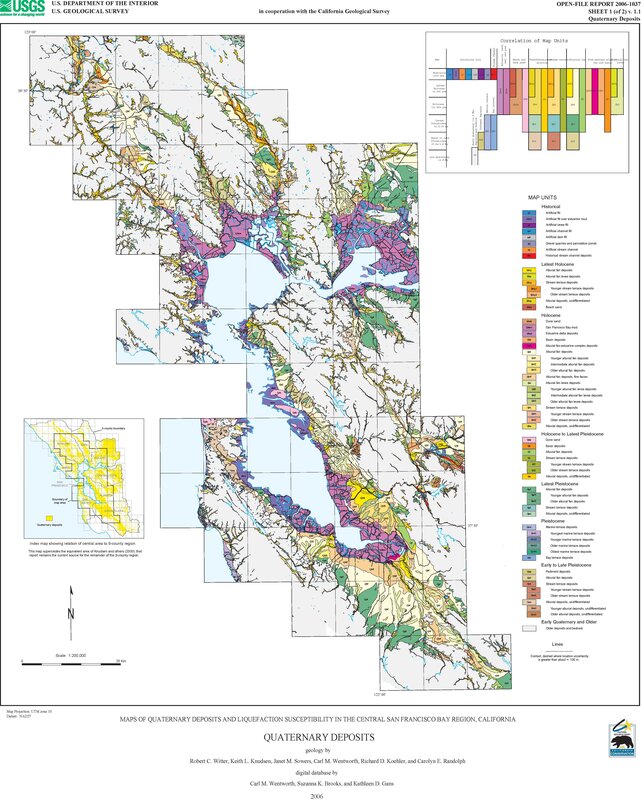
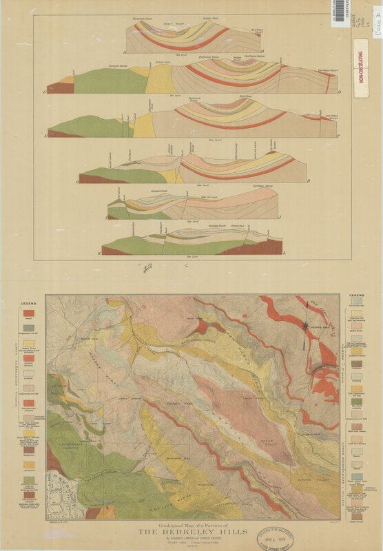
The different tectonic forces in the Bay Area have caused the rock composition to be varied and its compositions is termed the Franciscan Complex. The below maps show different geologic aspects of the Bay Area.
Sources
.jpg)