South Bay
The South Bay is located at the southernmost portion of the Bay Area and includes part of Silicon Valley. The South Bay has undergone tremendous transformations over the past centuries. These changes are illustrated in the maps below that show different claims on the land through the years, both by people (on the land ownership maps) and usage (in the maps showing agriculture and expanding urban development).
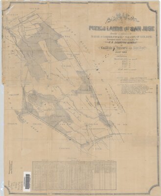
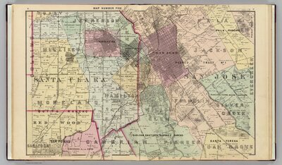
Land Ownership
Originally inhabited by Ohlone people, the land in the South Bay became a shifting patchwork of colonization by Spanish, Mexican, and American settlers. Take a close look at the maps below that show these changing powers. What names are familiar today? Can you see the different patterns left by each era of land occupation?

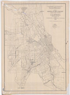
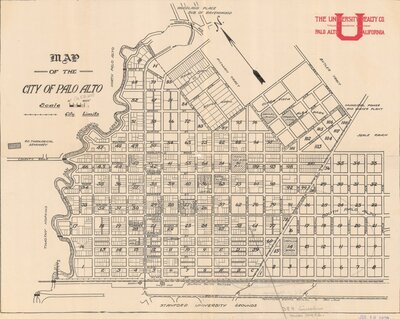
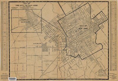
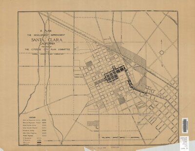
Fields and Fortunes
Agriculture (powered by irrigation schemes) shaped the South Bay as cities across the region planned their downtowns and urban areas expanded.
Sources