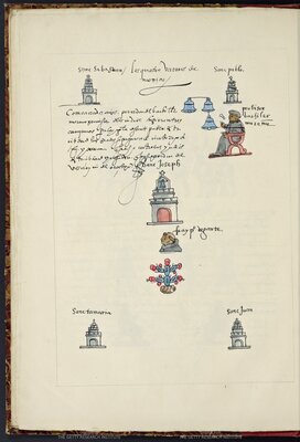
CDMX: City of Barrios
Mexico City is a city of neighborhoods. Before its destruction by the Spaniards to form a new Mexico City, the island city of México-Tenochtitlan was composed of nauhcampan or four quadrants that stemmed from the city’s sacred center, with neighboring Tlatelolco as its own separate entity to the north. This section demonstrates how, in the subsequent five centuries, the megacity regrew—taking over existing towns that surrounded Lake Texcoco and, eventually, expanding over most of the Valley of Mexico—creating new subdivisions and neighborhoods in its path.
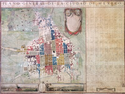
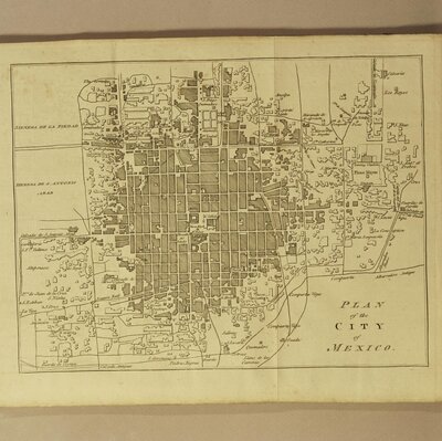
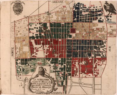
Plano general de la Ciudad de México
Diego García Conde surveyed Mexico City in 1793 as part of an evaluation of the ordinances implemented in 1782. In 1807, Manuel López López printed it (lo estampó) on nine sheets of paper, in collaboration with engraver José Joaquín Fabregat and artist Rafael Jimeno y Planés, who embellished the map with two vignettes showing views of the city from east and west and a cartouche with the Spanish royal coat of arms and those of Mexico City. This map served as reference for most maps of Mexico City printed in the Americas and in Europe well into the nineteenth century.