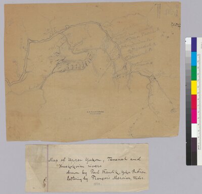
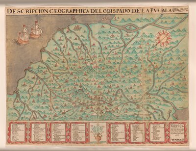
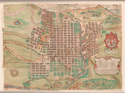
Constructed Narratives: Handmade Maps
Often created because the technology of printing is not available or not desired, handmade maps are often a more apt response to their purpose. Created with the materials at hand, these maps are often personalized and sometimes unexpected renderings used to understand a place and its situation. The maps featured in this section, which include the nineteenth century maps of the Californio land grants—known as diseños—and views of Puebla and Mexico City, are unique Bancroft items held nowhere else in the world.
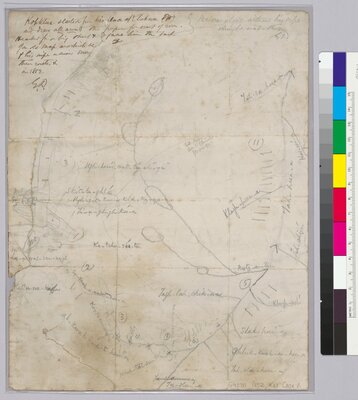
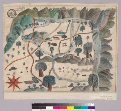
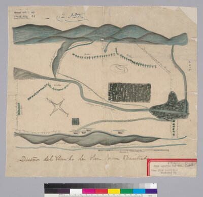
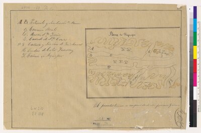
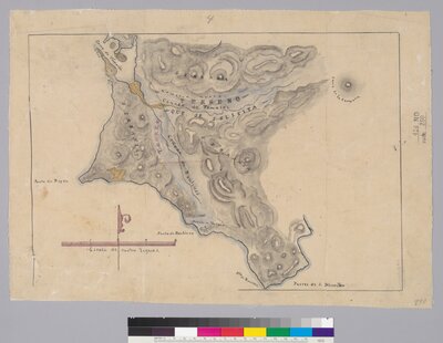
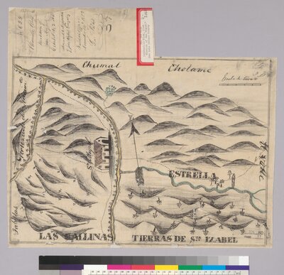
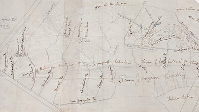
Land grant maps
Hand-drawn maps, known as diseños, functioned as proof of land ownership and formed part of the evidence for the adjudication of Spanish and Mexican land grants in U.S. courts after the annexation of California. This map shows Rancho San Miguelito de Trinidad in Monterey County and features the Nacimiento River flowing through the property, and a California grizzly bear leaving his mark on a tree. At the top of the map are the Santa Lucia Mountains which border this tract of land.