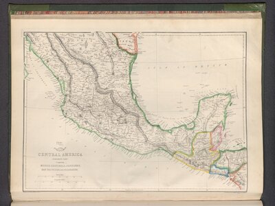
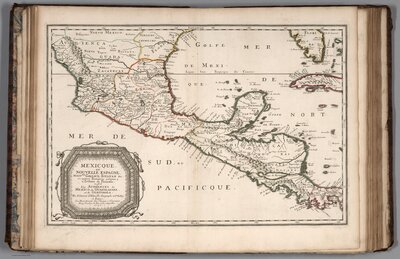
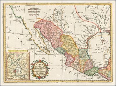
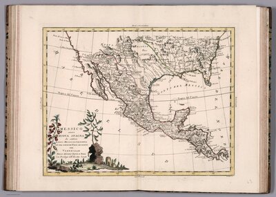
Mexico from Colony to Nation
Internal conflicts and foreign interventions have shaped the territory we know as Mexico. In the sixteenth century, Spaniards capitalized on warfare between indigenous polities to establish their dominion over the territory—known as the Viceroyalty of New Spain—which spanned from California and New Mexico in the north to Costa Rica in the south. Three hundred years later, a series of civil wars between regional and political factions led to the establishment of an independent Mexico. Soon after, however, the expansionist interests of the United States intervened in Mexico’s nation-making process and further severed its territory to form the more recognizable shape we know today. The maps in this section trace the expansion and contraction of Mexico in its first four hundred years.
The U.S. invasion of Mexico (1846-1848) forever altered the geography and politics of the nascent nation.
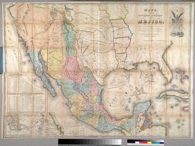
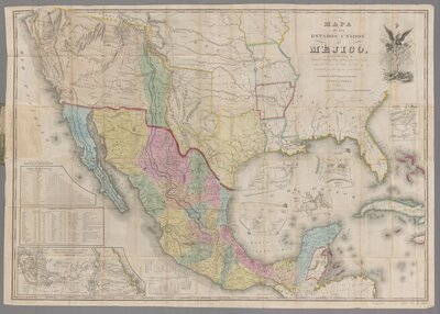
Mapa de los Estados Unidos de Méjico, California &c., 1847
Engraved by the New York publishing firm of White, Gallaher and White in 1828, John Disturnell’s plates went largely ignored until the outbreak of the U.S. war with Mexico. Beginning in 1846, and issued approximately thirty times until the early 1860s, the highly outdated map became a resource for both nations during the negotiations of the Treaty of Guadalupe Hidalgo. This 1847 issue shows independent Texas at its largest extent, and Alta California and New Mexico as part of Mexico.
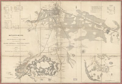
Battles of Mexico: Survey of the line of operations of the U.S. Army under the command of Major General Winfield Scott, 1848
The U.S. troops, under the command of General Winfield Scott, arrived in Veracruz and quickly advanced to Mexico City via the route taken by Hernán Cortés three hundred years prior. The city fell in September 1847.
Mapa de los Estados Unidos de Méjico, California &c., 1849
This 1849 issue of John Disturnell’s Map of Mexico, published a year after the Treaty of Guadalupe Hidalgo, shows the new contours of Mexico’s northern border. As part of the negotiations to end the U.S. occupation of Mexico City, Mexican officials there were forced to recognize the annexation of Texas by the United States and to “sell” the remaining lands in the southwest. The thick red line shown here, however, was drawn prior to the Gadsden Purchase in 1854, which fixed the border further south.